


County GIS Day at Grand Park
On a perfect fall day in November, hundreds of people turned out to learn about L.A. County's digital mapping systems at GIS Day held at Grand Park adjacent to the Kenneth Hahn Hall of Administration. Representatives from more than two dozen L.A. County Departments, several southern California universities, many non-profit organizations and numerous private sector contractors were on hand to demonstrate their technologies at this year's GIS Day.
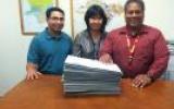
Virtually all of the County departments were represented by CAPE-represented employees working in Geographic Information Systems (GIS) assignments. County Department of Public Works employees assigned to the Cadastral Landbase Unit explained their ongoing effort to update the County's digital maps in the unincorporated areas.
GIS experts Karen Khachatrian, Sovan Tith and their supervisor, Elmer Jacobs, III, explained the technical process of updating the digital files. "We make the County's digital maps more accurate by sending the survey crews to establish a long list of monument locations and conveying that data digitally to the DPW Cadastral office," Jacobs explained. "Then we establish the accurate coordinates, verify the data and then make adjustments to the County's main digital map files to establish rights of way, easements and municipal boundaries."
All three of the DPW Cadastral Landbase Unit employees at the GIS Day event are longtime CAPE members with a combined 40 years of CAPE membership.
CAPE-represented employees in the Assessor's Office held GIS briefing sessions in the Hall of Administration rooms for County workers to learn the details of the new technologies and applications for virtually every County department.
Rey Bernabe and Dante Reyes, both CAPE members at the Assessor's Office GIS Mapping unit, explained that the Assessor's Office GIS mapping efforts started back in 1986, when the technology was relatively new to government agencies. For the last 30 years, Assessor's Office GIS mapping employees have provided the foundation for County mapping services by drawing the lines for every land parcel, and assigning the lines for newly created parcels.
The GIS Day was held on Wednesday, November 18, from 9:00 AM to 3:00 PM at L.A. County Grand Park between the County Hall of Administration and the L.A. Superior Courts building.
For more information about CAPE-represented employees working in the County's GIS units, call the CAPE office at (626) 243-0340. Or, you can learn more by visiting L.A. County’s GIS Data Portal at: http://egis3.lacounty.gov/dataportal/.
 |
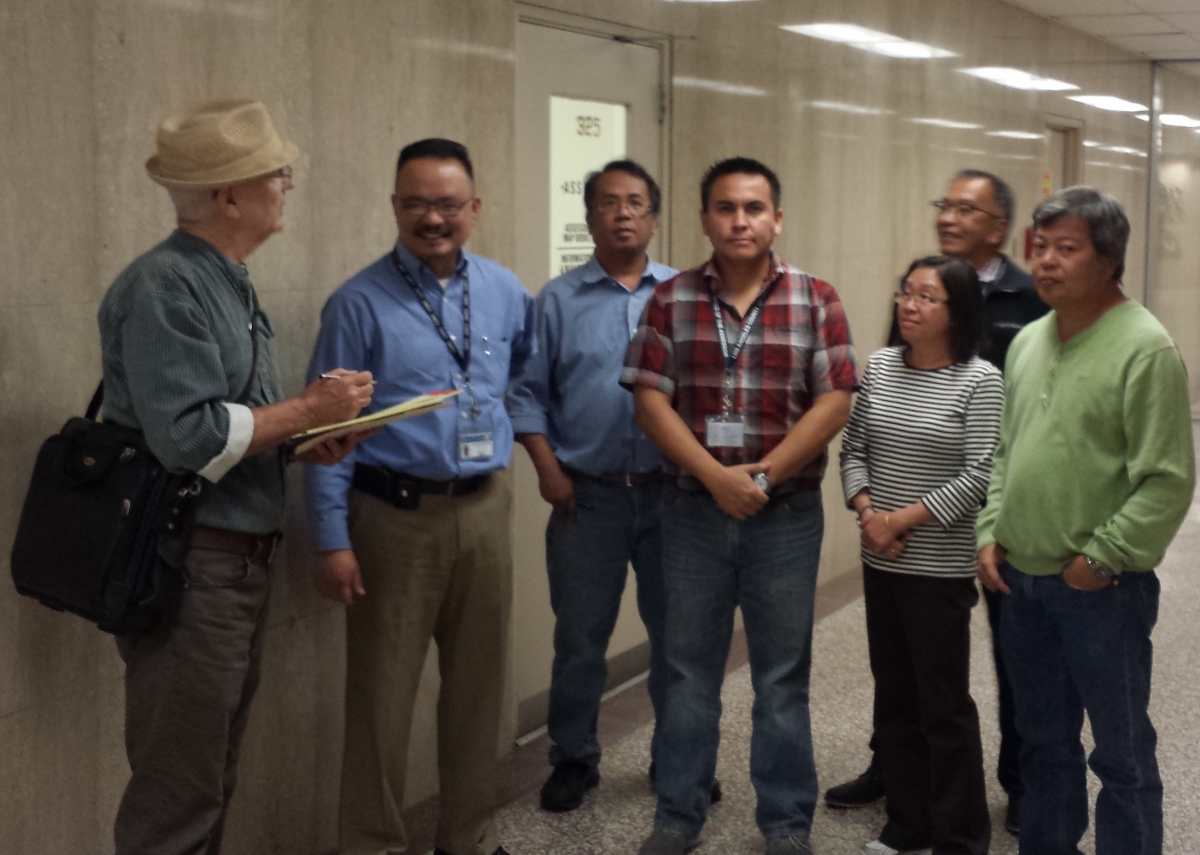 |
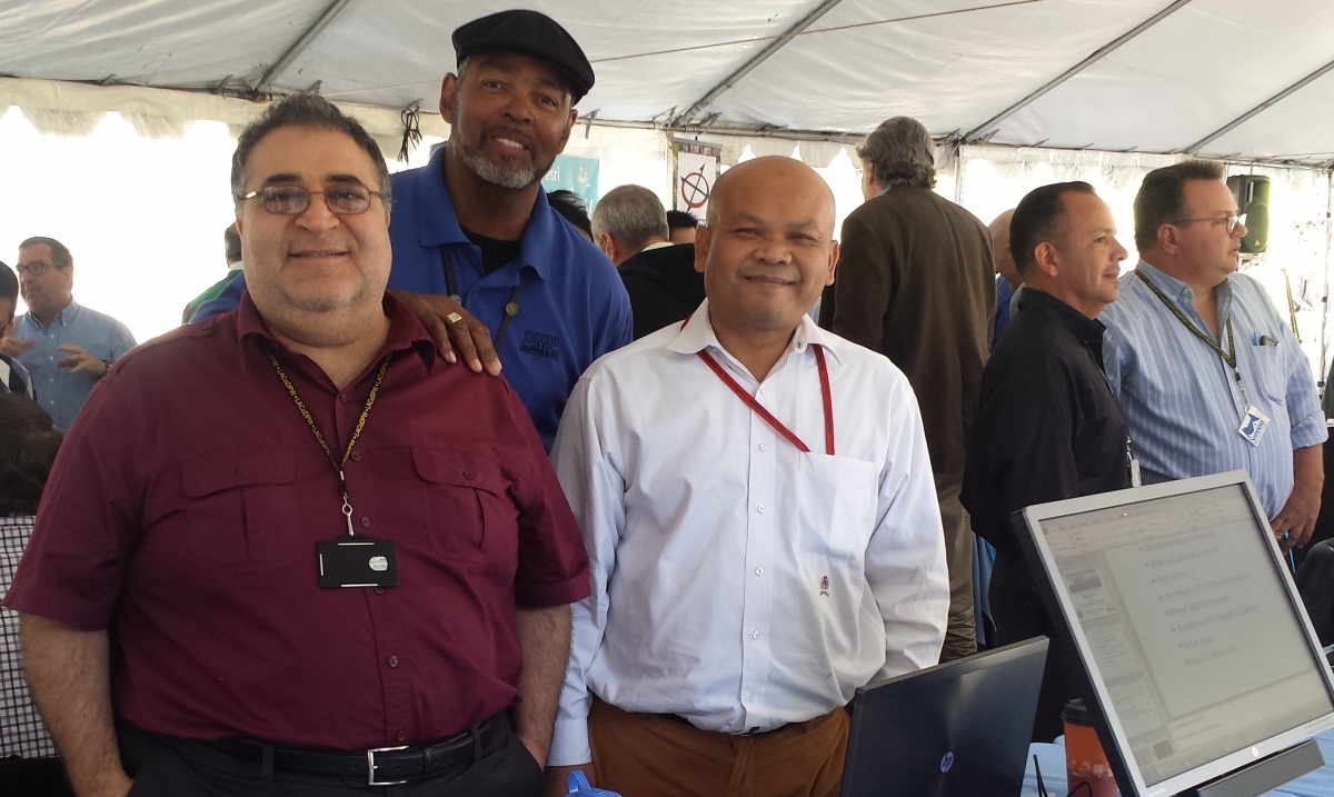
| L.A. County DPW Cadastral Landbase Unit, (from right) Karen Khachatrian, Elmer Jacobs, II, and Sovan Tith. | CAPE Business Agent, Timothy Farrell talking with Assessor's Office GIS employees, Reynaldo Bernabe, Dante Reyes, Tom Aligam, Juan Alarcon, Grace Song and Clinton Almendras. |
[CAPE Members: Please share this website with non-members at your work location]
©CAPE [Terms of Use]

Professionals in Action


Announcements
CAPE Member Discounts
Download flyer.
__________________________
Movie ticket order form
Download flyer.
__________________________
DRP Workboot Reimbursement
Click here for more info and forms.
__________________________